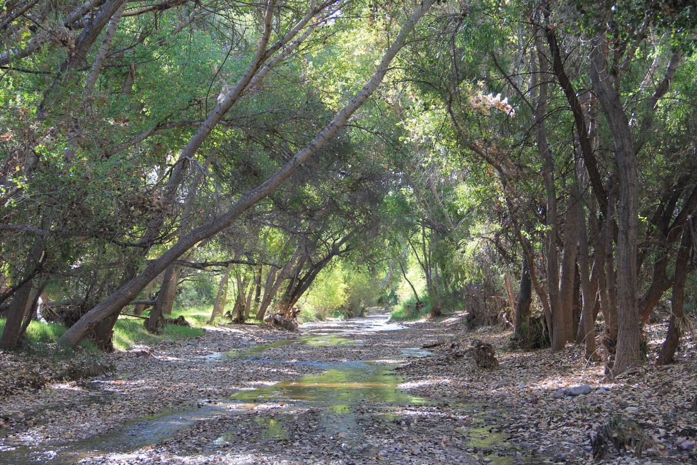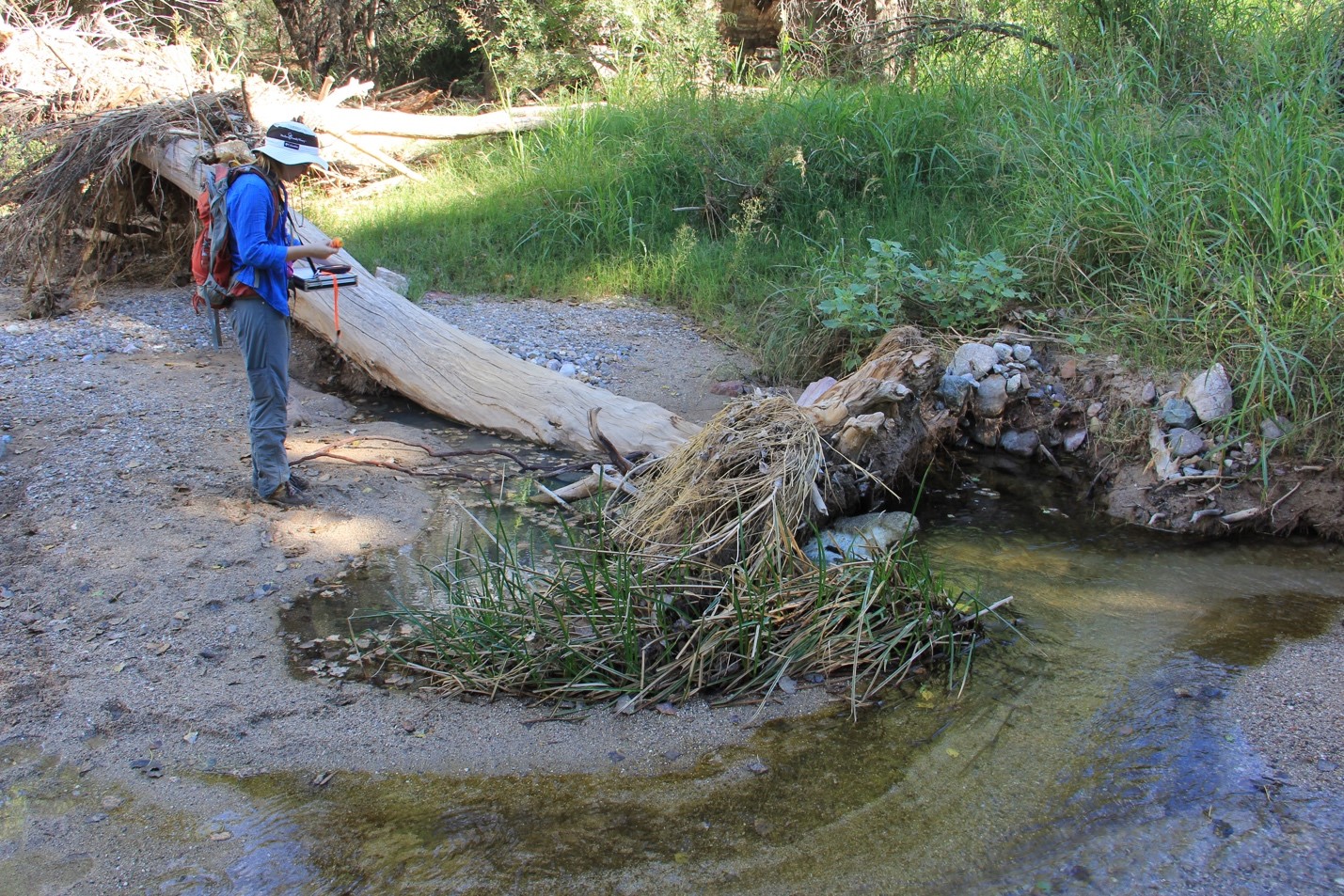
The Cienega Creek is one of the last running streamlets in semiarid, drought-prone Southern Arizona (annual rainfall is 15 inches), and it is the defining feature of the surrounding watershed. The Cienega Watershed, located southeast of Tucson, contains some of the rarest habitats in the American Southwest – cienegas (marshlands), cottonwood riparian forests, Sacaton grasslands, mesquite bosques, and semi-arid grasslands. It is also home to several threatened and endangered species, including fish and frog species that live in the wet sections of the creek. The watershed includes many active cattle ranches, and it is an attractive visitor destination, for its landscapes and scenic beauty, and for the region’s cultural heritage.

Unfortunately, these important conservation and socio-cultural values are increasingly threatened by population growth, human development, and climate change. Wildfires have increased in frequency and intensity over the past decade, and the wet sections of the watershed have been shrinking over time. Invasive species have proliferated, threatening the survival of key native species and their habitats. In addition, plans have been approved to open a copper mine within the watershed. Such a development would likely alter local hydrological systems, and have significant impact on the landscape and ecosystems within the watershed. Because of the wetlands’ critical role for both social and ecological systems, many people are concerned about the state of the health of this watershed.
The Cienega Watershed Partnership (CWP) is a nonprofit organization that supports stewardship initiatives in the Cienega Watershed. CWP works with many partners – organizations and individuals – to sustain the watershed’s ecological systems, heritage values, wildlife corridors, and open spaces for future generations. The CWP is unique in the sense that it brings together multiple federal, state, and county agencies, NGOs, and other local organizations with different missions, all sharing a common goal – to sustain the health of the watershed. While CWP is a citizens-based organization, it works closely with a broad spectrum of organizations and agencies, including the Bureau of Land Management (BLM) (which has jurisdiction over the largest parcel of land within the watershed – the Las Cienegas National Conservation Area, or LCNCA), National Forest Service, National Park Service, Pima Association of Governments, The Nature Conservancy, Sky Island Alliance, the University of Arizona, and several Pima County agencies.

The CWP is sponsoring a project called The State of the Cienega Watershed, part of a larger effort to provide a regular assessment of the watershed’s overall health. The CWP partners include people from organizations already working on watershed health assessment in one form or another. For example, researchers from The Nature Conservancy regularly monitor plant species on the LCNCA. A parallel effort is being developed by Pima County Office of Sustainability on county land. BLM resource management specialists also track endangered species on their land in order to comply with federal regulations and monitor groundwater levels, stream flows, wet-dry lengths, and more. In addition, Pima Association of Governments monitors multiple aspects of the Pima County portion of the watershed including water quality, groundwater levels, and wet-dry lengths. While each organization looks at portions of the watershed based on jurisdictional boundaries, CWP is the only organization that is truly looking at the watershed as a whole. This holistic approach is necessary because jurisdictions do not always align with ecosystem functions. CWP capitalizes on existing data gathered by these partner organizations, providing a broader, more comprehensive mechanism for long-term monitoring, regular evaluation, and adaptation of CWP program priorities and actions to meet changing conditions.
The State of the Cienega Watershed augments other events and conversations taking place in the watershed, and aims to provide an annual snap-shot of watershed health. It is expected that this effort will deepen the collective understanding of conditions and trends in the watershed, and at the same, offer all concerned the opportunity to take stock, discuss strategies, make appropriate adaptations, and continue to engage with partners and the public. In other words, CWP and its members are applying the principles of adaptive management to the watershed – through an iterative learning process, stakeholders are adapting their management decisions based on trends that are identified by this long-term monitoring effort.

The main objective of the effort is to monitor the state of the Cienega Watershed through a common set of overarching indicators. The process provides a continuous mechanism for evaluating watershed health, communicating the resulting assessment to program partners and the community at large, and guiding the implementation and adaptation of CWP program priorities and actions to meet changing conditions. The key in selecting appropriate indicators is that together they represent the ‘health’ of the watershed. So, the most important first question that CWP sought to answer was: What should be measured?
CWP stakeholders, including researchers from the University of Arizona have been working to address this question for the past three years. The initial tasks included:
- the development of a set of core criteria for evaluating candidate indicators,
- identification, review, and prioritization of indicators,
- identification of sources of data, and
- determination of appropriate, accessible ways of presenting results.
CWP organized a series of workshops with partners, periodically dividing participants into four working groups: landscape scale, riparian/water, uplands, and socio-cultural. Each working group provided a list of potential indicators to measure the health of the watershed from their expertise and perspective. The initial list included 47 indicators, which were evaluated and ranked based on the overarching criteria by stakeholders.
In the fall of 2015, the CWP, seeking to reach out to a wider group of stakeholders to obtain input on the process, engaged Adriana Zuniga – a Postdoctoral Research Associate working at the Udall Center for Studies in Public Policy – to conduct an independent survey to narrow down the resulting list of criteria and indicators. Adriana created an online survey and distributed it by email to a list of 84 partners. She received 40 responses (47%). In spring 2016, Adriana presented the results of this survey during a stakeholder workshop where the working groups further discussed and refined the list of indicators. Workshop participants tentatively agreed on a set of 19 indicators, divided into four general categories: climate, water, ecological, and socio-cultural.
A couple of months later, the CWP hired Adriana again, but this time to collect data for the narrowed list of 19 indicators. Through extensive contact with key CWP partners, the team was able to gather available data, determine the best way to communicate the data, and ask where to find missing data or identify suitable proxy data. CWP’s project steering committee held periodic meetings to further refine data analysis and the presentation of results.

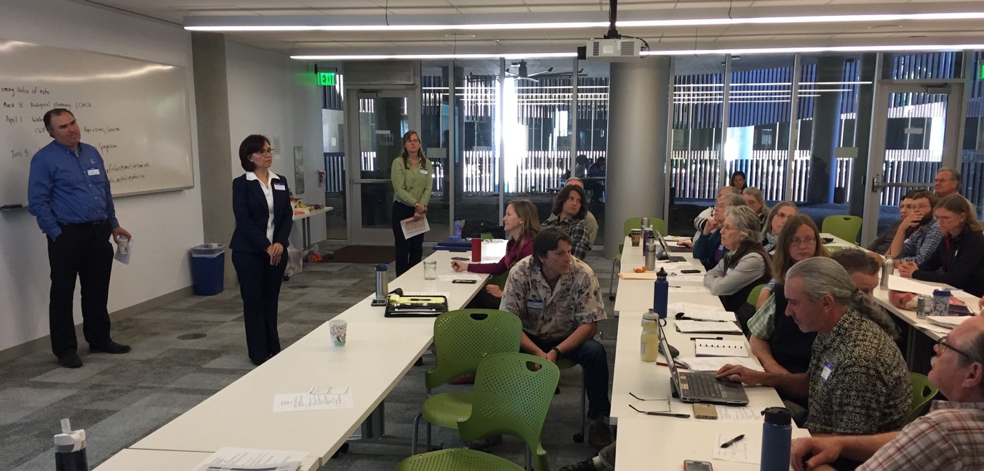
questions from the audience during the CWP Workshop 2017. (Photo: R. Varady)
In March 2017, Adriana presented the first report on the State of the Cienega Watershed to a group of 45 CWP partners, including representatives from all of the key partner organizations and agencies. Following the presentation, there was a question-and-answer session, and participants were then divided into the working groups to further comment on: a) the quality the data, b) how to improve the presentation, and 3) what the information tells us about the state of the watershed in terms of actionable decisions.
CWP is interested in learning from the participants and other stakeholders: how effective are the indicators? What is missing? What can be eliminated? How can we improve the quality of the presentation, and what’s the best way to share it with partners and the public? Most importantly, what does this information tell us about the state and health of the Cienega Watershed, in terms of trends, concerns, and recommendations? This trial-and-error approach is helpful because we can adapt it easily in the next iteration.
The team is already working on the many suggestions received during the workshop, and there are certainly many ways to improve and adapt the analysis and presentation of information to encourage ongoing discussion and planning. Next year, CWP plans to continue gathering data that best represents the health of this beautiful watershed.
